


Install as app
Faster access like an app
Install Pinlog as a Progressive Web App (PWA) directly via your browser – no app store needed.
Install Pinlog as app
As a PWA directly via your browser
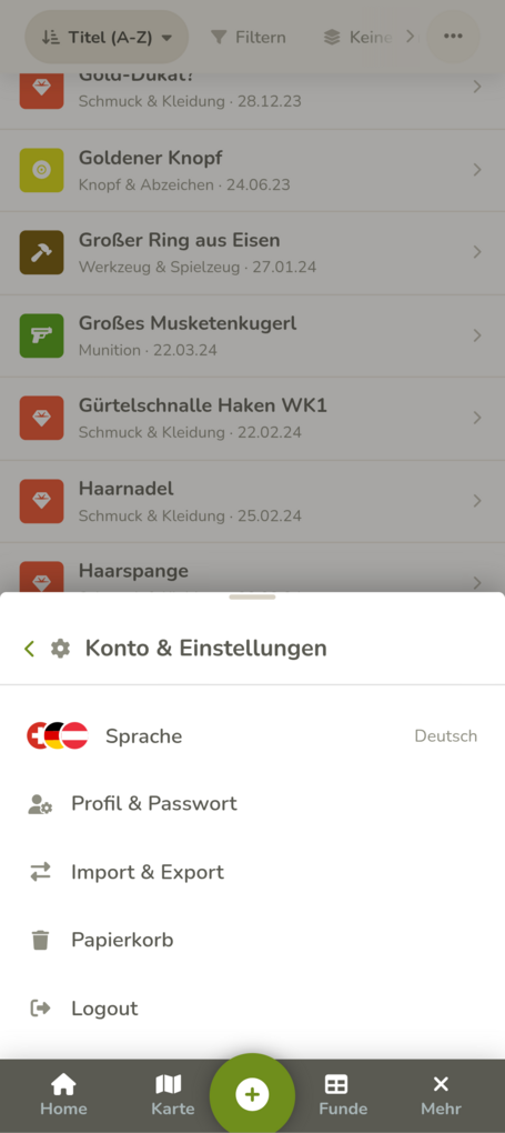


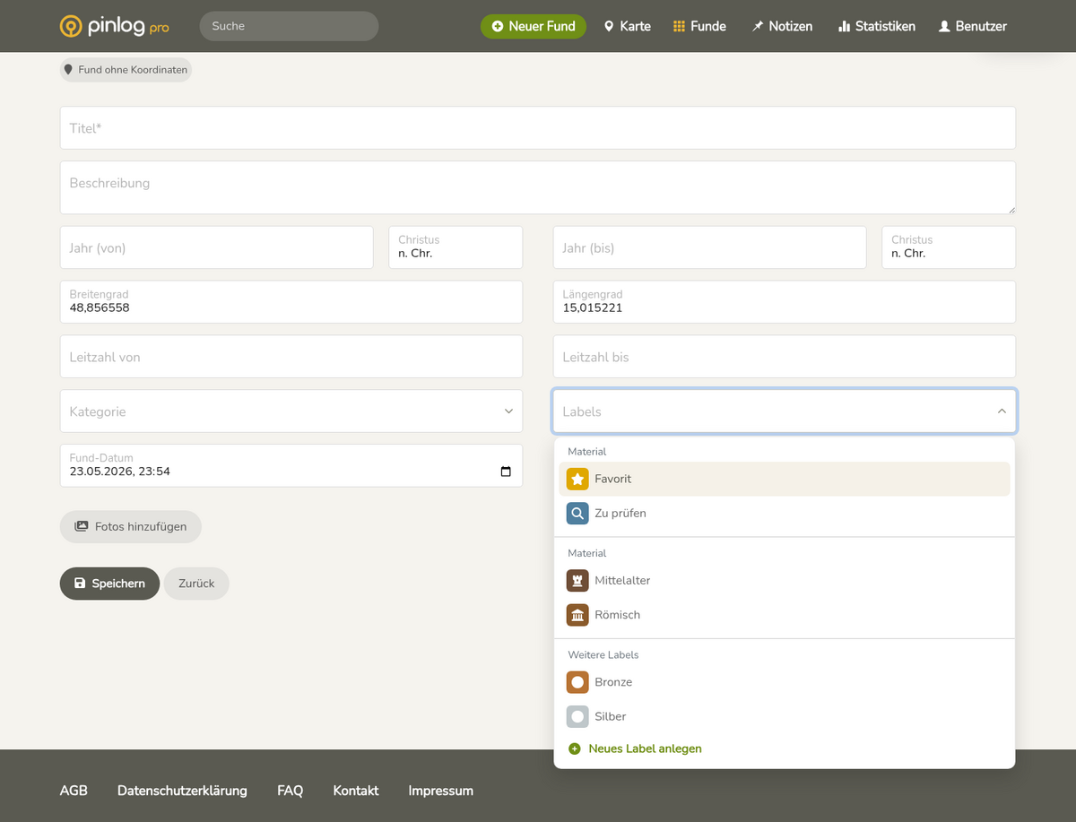
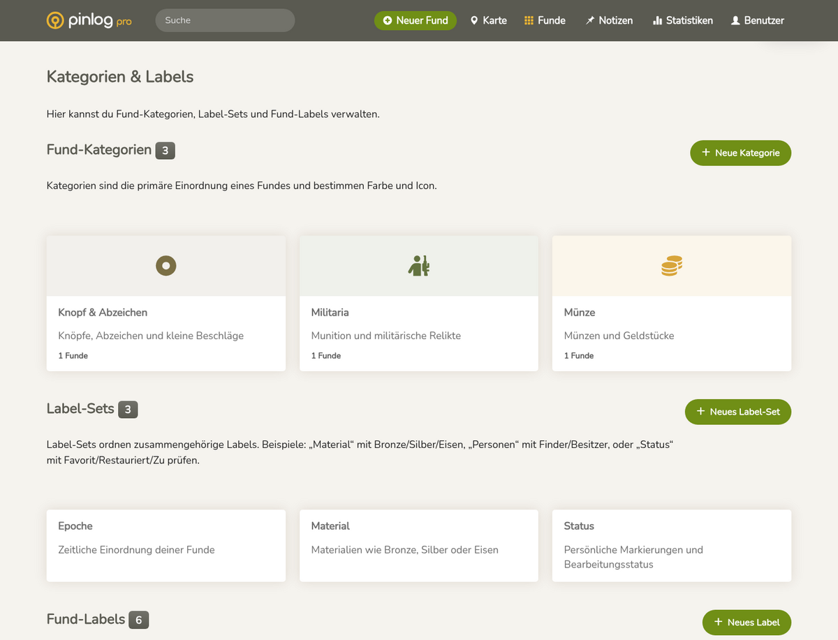


New labels and label sets
The big new feature of this release is labels and label sets. They let you organise your finds much more freely and personally. With labels you can give a find additional properties – for example Bronze, Silver, Roman, Button, Restored, Favourite or anything else that suits the way you work.
To keep things clear even with lots of labels, you can bundle them into label sets. A label set is a group of related labels – for example Material, Period, Condition, Object type or Processing status.
You can now also filter your finds by labels. That way you quickly find all entries with certain properties – such as all Roman finds, all bronze objects or everything you have marked as a favourite. This lets you describe your collection much more precisely and search it far more easily later on.
Categories for notes
Notes can finally have their own categories. Instead of being stored as generic markers only, they can now be classified – for example as an observation, a suspected spot, a research point or a personal reminder.
That makes notes even more useful: you can tell them apart more easily, find them faster and place them more clearly on the map.
Icons and colours on the map
Finds and notes are now shown on the map with matching icons and colours. Instead of plain circles, you can see at a glance what kind of find or note is at a spot.
The markers use the icons of your categories: icon and colour instantly show what is behind a point. This makes the map far more informative and lets you get an overview of larger search areas more quickly.
Extended data layers
The existing data layers have been extended to more countries. Many categories that were previously only available in some regions are now also available for Germany, Switzerland and the Czech Republic.
These include military sites, castles and ruins, archaeology and excavation data, as well as natural and artificial underground structures.
This means you can now use the same thematic layers across countries and compare search areas better.
Multi-selects with icons
The selection fields in Pinlog have been improved significantly. Multi-selects now show icons directly in the selection, so you recognise labels, categories and notes faster.
The icon picker itself has also been greatly extended: many new icons are now available for categories, labels and notes. The icons have better keywords and are therefore easier to search – even if you don't know exactly what an icon is called.
The selection has also been optimised for smartphones, so longer lists and multiple selected entries are more comfortable to use.
Announcements in the dashboard
Important notices and new features can now be shown to you directly in the dashboard.
The notices appear in a compact form, can be expanded when needed and dismissed with “Got it”. That way you get important information without it bothering you permanently.

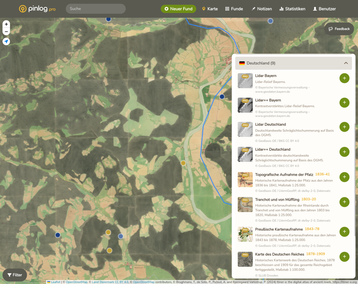
New historical maps
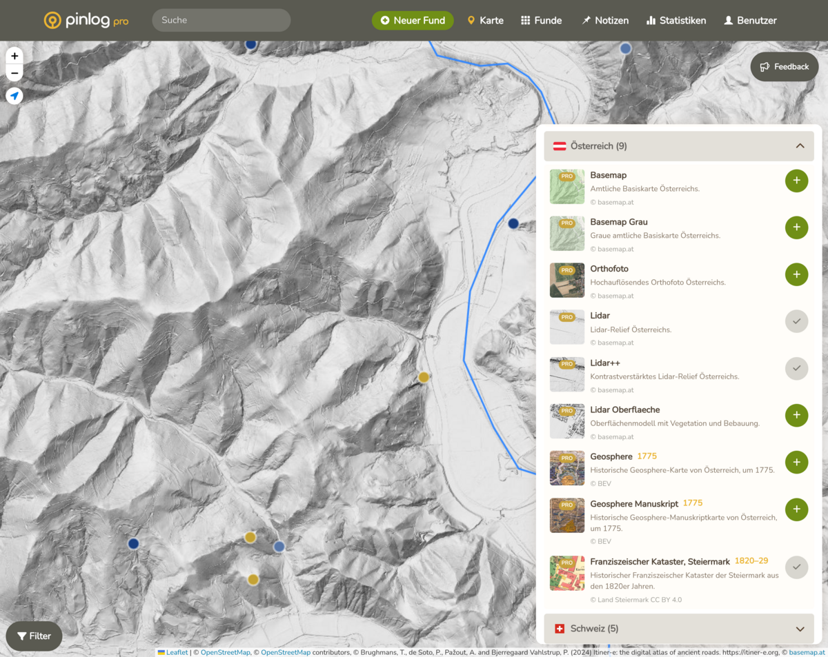
In total you now have access to more than 40 map and data layers from 4 countries – the largest collection of geodata Pinlog has ever had.
New additions include the map of the German Reich, the Saxon “Meilenblatt”, the Prussian survey maps and the topographic survey of the Palatinate – as well as Czech historical military maps and orthophotos. The Czech layers use the Krovak coordinate system and are therefore displayed with a precise fit on the map.
All base layers now show years, so you can see at a glance which period the data comes from. Previews are loaded in a modern image format – this saves data and speeds up the view.
Your own layer bar
You can put your most important layers together in your own bar and arrange them by drag & drop exactly the way you need them.
Improved map controls
The map controls have been completely reworked. Buttons now have more depth, the active map is highlighted more clearly and the controls look tidier.
The layer menus have been carefully improved: when you open a country, the menu scrolls there automatically, the menu stays open while searching, and the icons have been replaced by high-quality vector graphics – always sharp, no matter the size. On smartphones, size and behaviour have been optimised so that using the map on the go is even more comfortable.
New short hints on the controls help you discover all features.
Stability and reliability
Behind the scenes, the entire map code has been fundamentally modernised: map layers and coordinate systems are now managed in separate, cleanly divided modules. A central configuration file makes adding new layers faster and less error-prone.
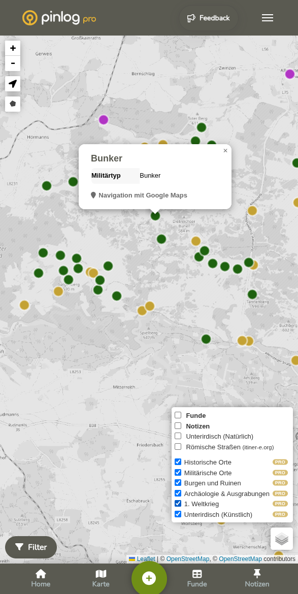
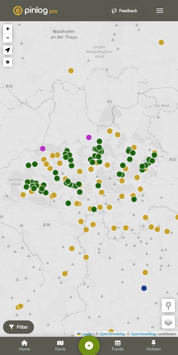
Better orientation on the map
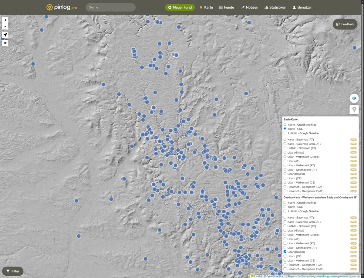
- The new data layers are the big highlight of this update. You can now show many more historical layers directly on the map.
- New additions include castles, ruins, caves, underground structures and other archaeologically interesting points.
- LiDAR data for Bavaria has also been integrated.
- Some layers that were previously restricted are now publicly available and can be used directly by more users.
- There is also a new light grey OSM map view as an additional map option.
- The layer info windows have been extended, so when you tap or click you can see more quickly what is relevant at a location.
- Thanks to the improved display, the map stays clear even with lots of content shown and helps more with planning and comparing.
- In short: you find interesting places faster and can prepare your searches better.
Improved usability and design
- Navigation and menus have been reworked, especially on smartphones.
- The profile area and central screens have been visually modernised.
- Icons, buttons and fonts are more consistent and easier to read.
- Find lists load noticeably faster.
- Images are processed more robustly when loading.
- The QR code feature has been moved to a newer foundation.
Stability and reliability
- Behind the scenes, Pinlog has been maintained and brought up to date.
- This means more stability, better performance and more reliable everyday use.
Bug fixes
- A problem with file uploads has been fixed.
- Display errors in the map view have been corrected.
- The rendering of font weights on Windows has been corrected.
- Several smaller usability bugs have been fixed.


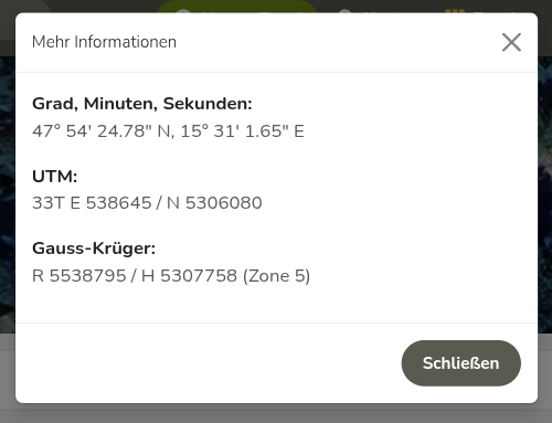
More flexible coordinates: UTM, Gauss-Krüger & DMS
Pinlog now supports a wider range of coordinate systems. A new selection dialog lets you display the coordinates of your find in UTM, Gauss-Krüger and degrees, minutes and seconds (DMS).
Roman roads from itiner-e.org
A special highlight for history enthusiasts: you can now show the routes of Roman roads and waterways directly on the map. A big thank you goes to itiner-e.org for providing the data for this feature!
New statistics bar
To help you keep an even better eye on your finds, we have added a new statistics bar. It shows you the following key figures at a glance:
- Total finds: your complete track record (e.g. 1,165 finds).
- Monthly trend: how many finds were added in the current month (e.g. +9).
- Active days: the number of days on which you actually logged finds.
- Search efficiency: average finds per search (e.g. 6.3).
- Pace: the average time between two finds (e.g. 29 min).
Other changes and technical improvements
- Mobile optimisation: the statistics view has been optimised for smartphones and calculation display errors have been fixed.
- Language update: texts in the system have been updated and corrected.
- Infrastructure & performance: a DDEV upgrade, Composer updates and a new Redis constraint ensure more stable and faster operation.


Blink feature: quickly switch between two maps
The new Blink feature lets you switch back and forth between two maps in a flash – either with the B key on desktop or with the new button on your smartphone. Ideal for directly comparing, for example, satellite images and LiDAR scans.
Manual coordinate entry & removing coordinates
You can now enter coordinates manually for a find or pin. You can also remove coordinates from a find if they were set by mistake or are no longer needed.
Filter for “No category”
You can now filter specifically for finds that have no category assigned. This makes it easier to keep track of finds that have not yet been processed or fully classified.
Sorting by inventory number
Finds can now be sorted directly by their inventory number.
Other changes and technical improvements
- Pinlog can now handle negative conductivity IDs
- Reworked context menu in the map view
- Individual filters can be deactivated again – you no longer have to reset all filters
- A missing icon in the image upload has been added
- The language files in the backend have been updated
- Dependencies have been updated
18.05.2025
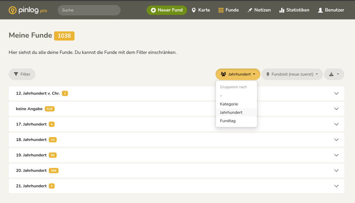
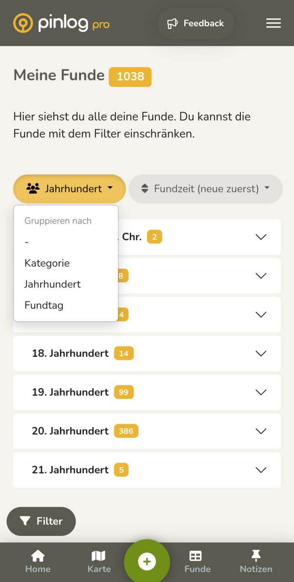
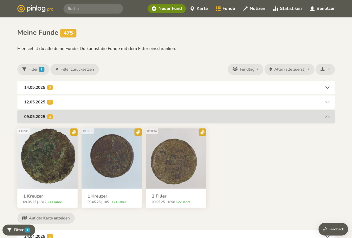
Grouping, sorting and export functions
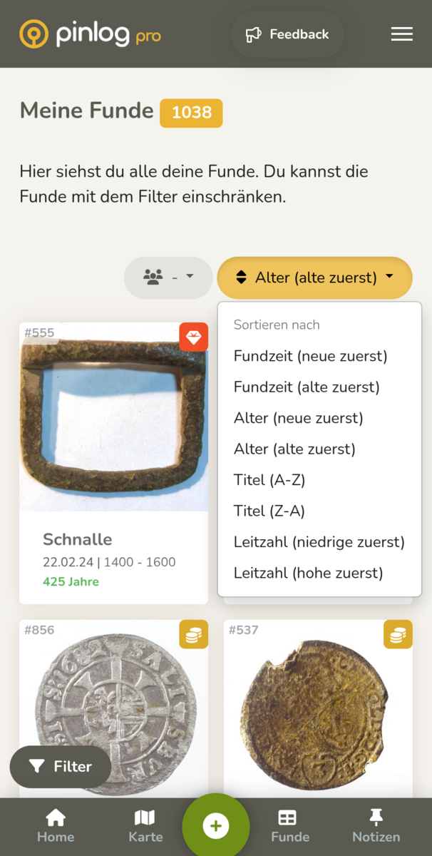
Advanced options for grouping (by find date, category or century) and sorting your entries are now available in the find view and you can export filtered data directly for seamless transfer to reports or other applications.
Age filter
The age filter makes it possible to sort and filter entries specifically by age, allowing data records to be searched and analyzed particularly quickly by age group.
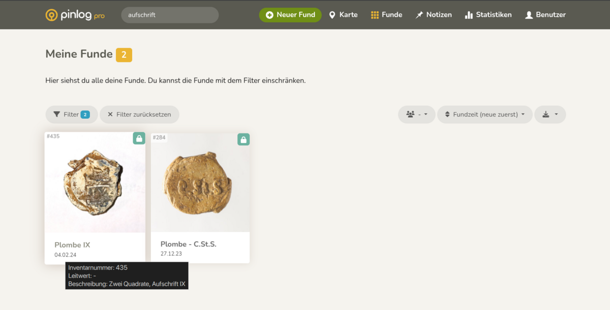
Tooltip for findings
With the new tooltip, a clear pop-up with all important details appears at a glance when hovering over a find in the find view, without having to open the detailed view of a find.
Other changes
In addition to the new functions, the design and usability have been further optimized: font sizes, spacing and icons have been adjusted, mobile navigation and the display of diagrams have been improved and the white frame on the filter button has been removed. Technically, the missing OSM package has been reintegrated and unnecessary ballast in the form of superfluous libraries has been removed to make Pinlog faster and more stable.
In addition, the storage of age information in the database has been made more consistent, the development environment has been brought up to date, internal code clean-up work has been carried out and a faulty sorting function and problems with the email header have been fixed.
19.04.2025
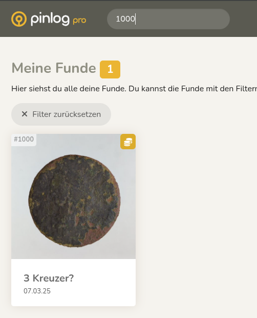
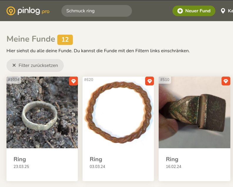
Search function improved
- Expansion of the search options
- Support for searching with multiple terms and specific IDs to increase the findability of findings.
New functions
- Notes on photo usage added
- Introduction of helpful tips and instructions on how to make the best use of photos to improve usability.
Improvements
- Switched to PHP 8.2 and updated dependencies
- Updated PHP version and performed updates to take advantage of the latest features and security standards.
- Updating the language files
- Improving the accuracy of translations.
- Revision of the age calculation
- Customization of the user interface labels
- Improving labels for a clearer and more consistent presentation
Bug fixes
- Corrected localization and integration of third-party libraries
- Fixed language support and library integration issues to ensure smooth functionality
- Fixed JavaScript issues in the Femanager
- Correction of script errors to improve stability and user experience.
Security improvements
- Improved security measures in the Femanager
- Increased security by replacing the captcha system and implementing secure methods.

08.03.2025
New features
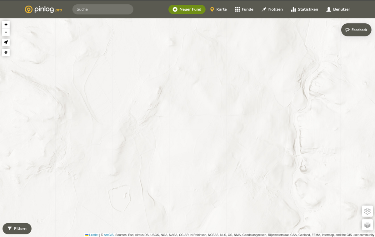
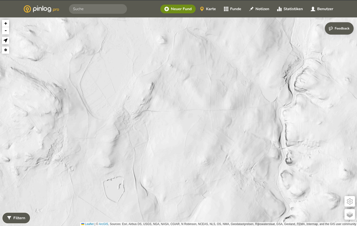
- Improved global lidar data: A new, optimized version of global lidar data has been integrated to make identifying structures even easier.
- Quick map view switching: With the new feature, users can now easily switch between two map views by simply pressing the "B" button.
Improvements
- Fixed the caching issue: The previously occurring caching issue after logging in has been successfully fixed to ensure a smoother user experience.
- Optimized color scheme: Adjustments to the color scheme of the theme

30.06.2024
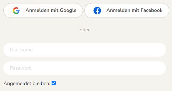
Integration of Google and Facebook login:
- Easier login and registration: it is now possible to simply log in or register via Google and Facebook, making the login process faster and more convenient.
Settings and navigation:
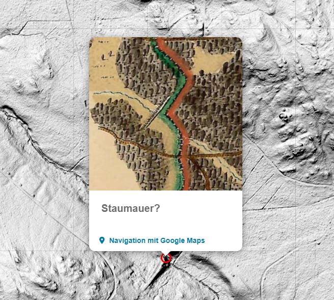
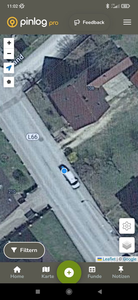
- Direct navigation to notes: A new button in the notes popup makes it possible to navigate directly to a note via Google Maps
- Show/hide pins and finds: A new option allows you to show or hide pins and finds as needed to provide a clearer map view.
Improvements:
- Better position display: Your current position is now displayed more accurately on the map, including your line of sight, to help you find your way around. In addition, activating this function automatically zooms in on your current position, making it quicker and easier for you to find your way around.
02.06.2024
New functions and improvements:
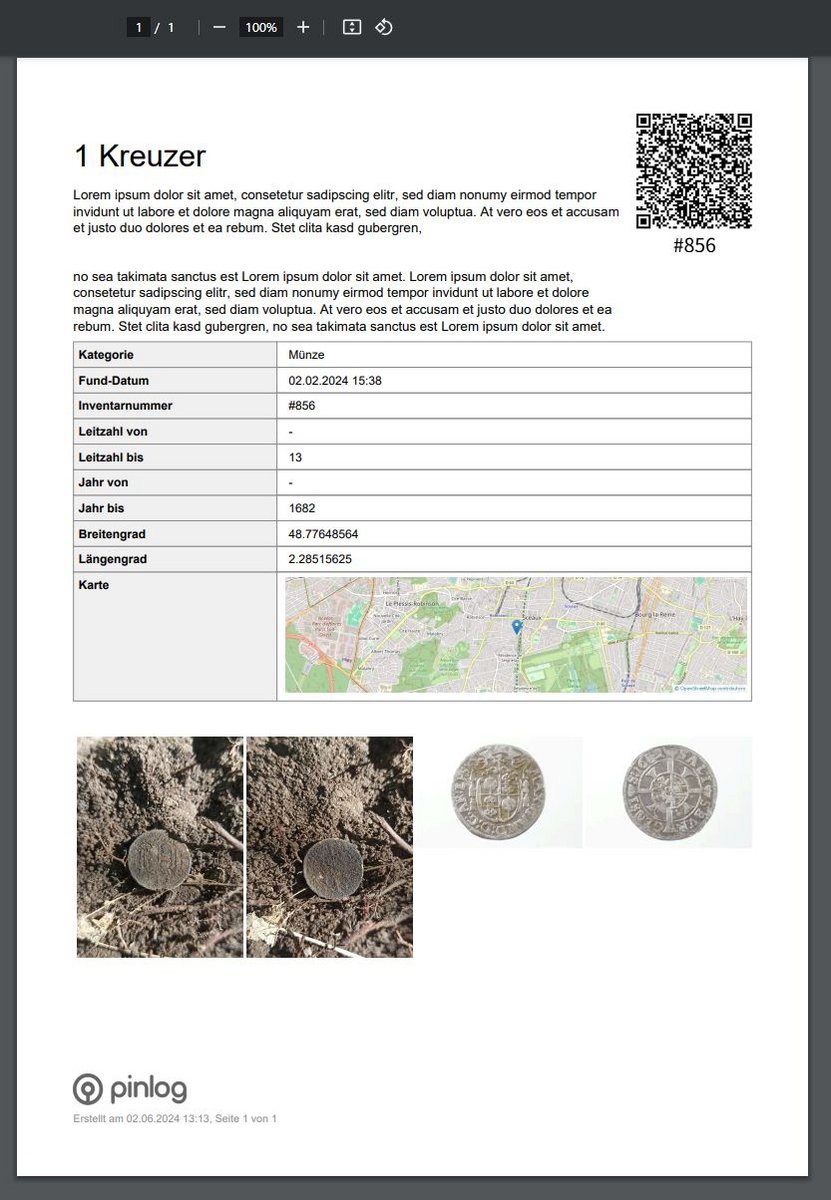
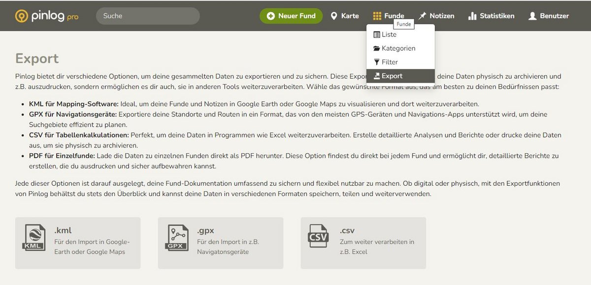
- Added export options:
- KML, GPX and CSV export options: Allows export of find data to various formats for backup, physical archiving, printing and further processing in other tools.
- Export finds to PDFs: Allows you to export find data as PDFs to create detailed reports and documentation that can be printed and archived.
- Coordinate function:
- Option to add coordinates to finds without coordinates: Improved accuracy and completeness of find documentation by allowing missing coordinates to be added retrospectively.
- Authorization notes:
- Adding missing authorization notes: Improved transparency and user-friendliness through clear indications of required authorizations.