


33 maps & 25 data layers
Even more clarity while searching – wherever you are.
33 Maps
25 Data layers
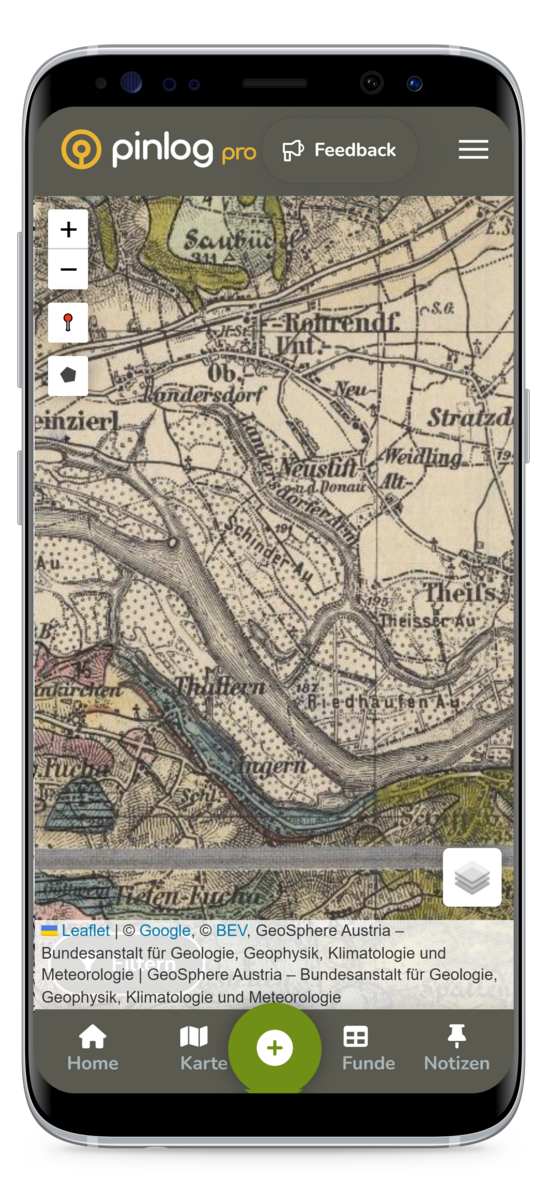
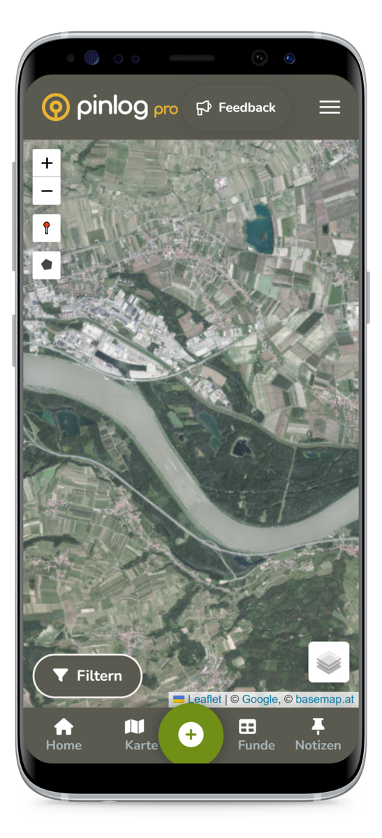
Pinlog Pro gives you access to the full range of maps – from aerial imagery and historic maps to LiDAR data. On top of that come 25 data layers with finds, notes, archaeology, castles, military sites, underground objects and more – all toggleable right on the map.
Global
AT DE CZ CH
- Maps: Orthophotos, official maps, historic maps, special maps and LiDAR
- Terrain (LiDAR): for Austria, Germany, Bavaria, Switzerland, Czechia and worldwide
- Historic maps: Geosphere, Franciscan Cadastre, Tranchot & Müffling, Siegfried map, historic aerial imagery and more
- 25 data layers: finds, notes, archaeology & excavations, castles & ruins, military sites, underground objects and historic places